DJI Matrice 4 Series
Lightweight and portable, smart and efficient, DJI's new flagship drone series, the Matrice 4, is officially launched. It includes two models: Matrice 4T and Matrice 4E, both supporting multiple intelligent functions such as intelligent detection and laser annotation measurement. The open computing power of the body significantly enhances perception performance, making the flight system safer and more reliable, and the accessories have also been comprehensively upgraded. Matrice 4T can cover a wide range of application scenarios such as power inspection, emergency rescue, public safety, and water conservancy and forestry monitoring, while Matrice 4E can further cover high-precision professional surveying and mapping, fine surface inspection, and other scenarios. A new chapter of intelligent aerial operations has begun.
Two models
Each excels in winning the field

DJI MATRICE 4T
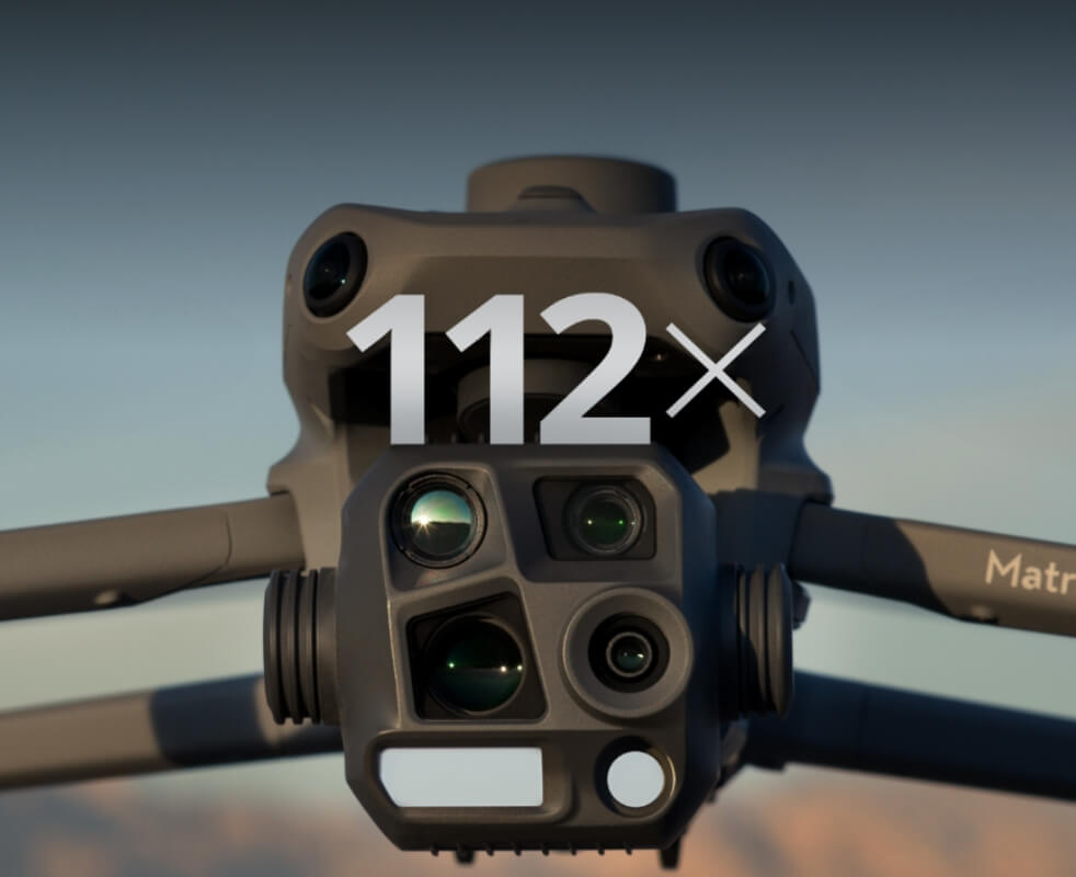
Wide-Angle Camera
1/1.3″ CMOS, 48MP Effective Pixels, f/1.7, Format Equivalent: 24 mm
Medium Tele Camera
1/1.3″ CMOS, 48MP Effective Pixels, f/2.8, Format Equivalent: 70 mm
Tele Camera
1/1.5″ CMOS, 48MP Effective Pixels, f/2.8, Format Equivalent: 168 mm
Laser Range Finder
Measurement Range: 1800 m (1 Hz); Oblique Incidence Range (1:5 Oblique Distance): 600 m (1 Hz) Blind Zone: 1 m; Range Accuracy (m): ± (0.2 + 0.0015 × D) [1]
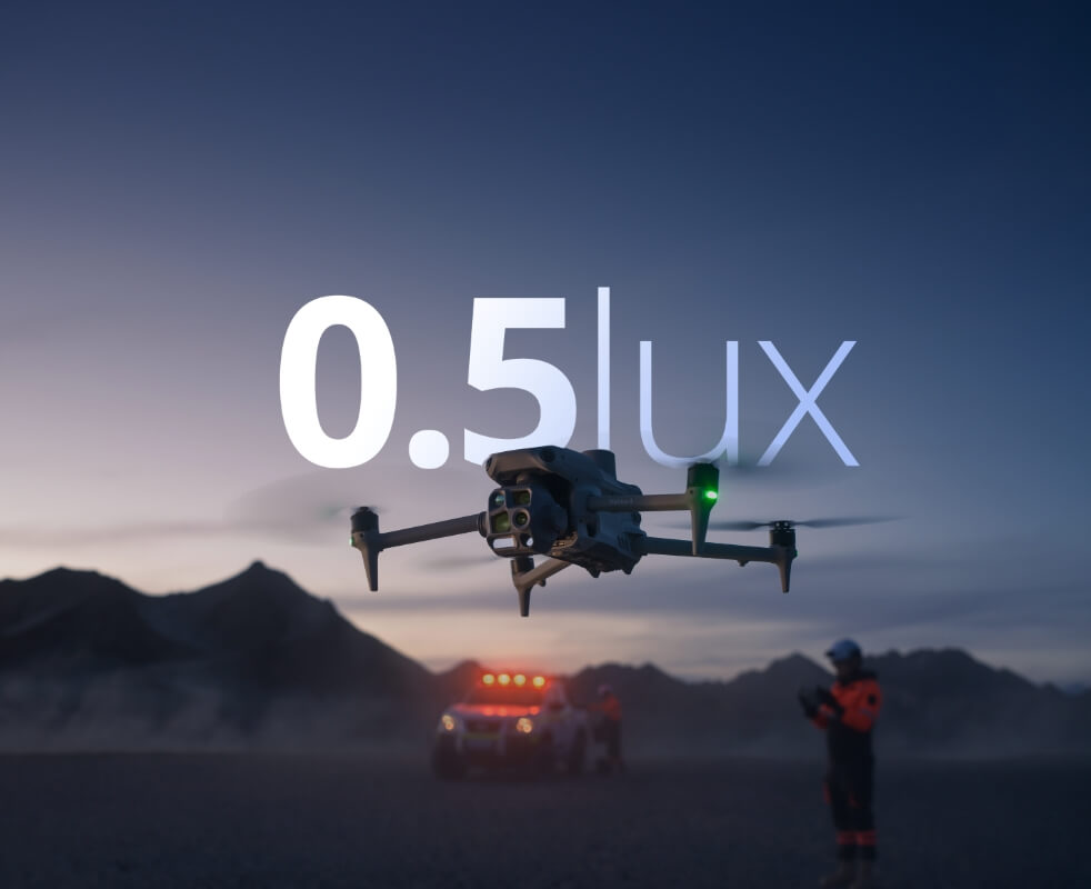
Infrared Thermal Camera [2]
Resolution 640 × 512, f/1.0, Equivalent Focal Length: 53 mm, Uncooled VOx Microbolometer, Supports High-Res Mode
NIR Auxiliary Light [3]
FOV: 6°, Illumination Distance: 100 m
DJI MATRICE 4E
Wide-Angle Camera
4/3 CMOS, 20MP Effective Pixels , f/2.8-f/11, Format Equivalent: 24 mm, Mechanical Shutter
Medium Tele Camera
1/1.3″ CMOS, 48MP Effective Pixels, f/2.8, Format Equivalent: 70 mm
Tele Camera
1/1.5″ CMOS, 48MP Effective Pixels, f/2.8, Format Equivalent: 168 mm
Laser Range Finder
Measurement Range: 1800 m (1 Hz); Oblique Incidence Range (1:5 Oblique Distance): 600 m (1 Hz) Blind Zone: 1 m; Range Accuracy (m): ± (0.2 + 0.0015 × D) [1]
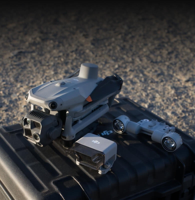
配件全面升级
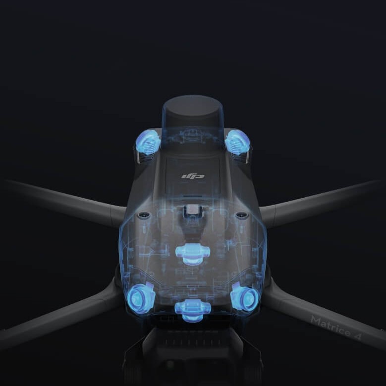
飞行更安全

DJI Care 行业无忧
Intelligent blessing
Double efficiency
Intelligent Detection
Built in new car and ship target detection models can quickly detect targets during search and rescue operations. And it supports switching to third-party object detection models, which can expand more object detection application scenarios. It also supports ultra clear matrix detection, which can detect up to 1000 targets on a single photo, easily achieving large-scale target detection, statistics, and density analysis; More powerful tracking function, allowing for flexible switching of tracking targets between multiple targets.
Laser marking, precise measurement
The laser ranging module can achieve real-time and accurate annotation and measurement. Through simple operations such as doting, drawing lines, and drawing surfaces, tasks such as marking the location of search and rescue targets and calculating the length of wildfire lines can be completed. After quickly obtaining accurate data, it can also be shared instantly through the remote control QR code and Sikong 2 collaborative function to improve collaboration efficiency.
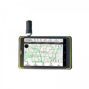
Accurately record the observation range and control the overall operation
DJI Pilot 2 supports recording the center position of the camera image and the observed ground area, and can also display the work area on the map. Even when conducting mountain searches without obvious landmarks, it can avoid duplication and omissions.
Efficient Flight, Intelligent Operation
CONSTANT SPEED
DJI Pilot 2 supports recording the center position of the camera image and the observed ground area, and can also display the work area on the map. Even when conducting mountain searches without obvious landmarks, it can avoid duplication and omissions.
FLY TOWARDS
In emergency or disaster situations, after selecting the target location, the drone can automatically adjust its flight path and speed according to the surrounding environment and fly towards the target location without manual intervention.
TRACK
After selecting the target object, it can be continuously tracked and supports precise target positioning and automatic adjustment of magnification. It can also easily switch tracking targets, and even if the target is briefly lost, it can be automatically retrieved.
SURROUND
Support flying around the target area, suitable for continuous observation of risk areas and three-dimensional modeling of buildings, greatly improving the efficiency of fixed-point observation and modeling.